Satlas

About Satlas
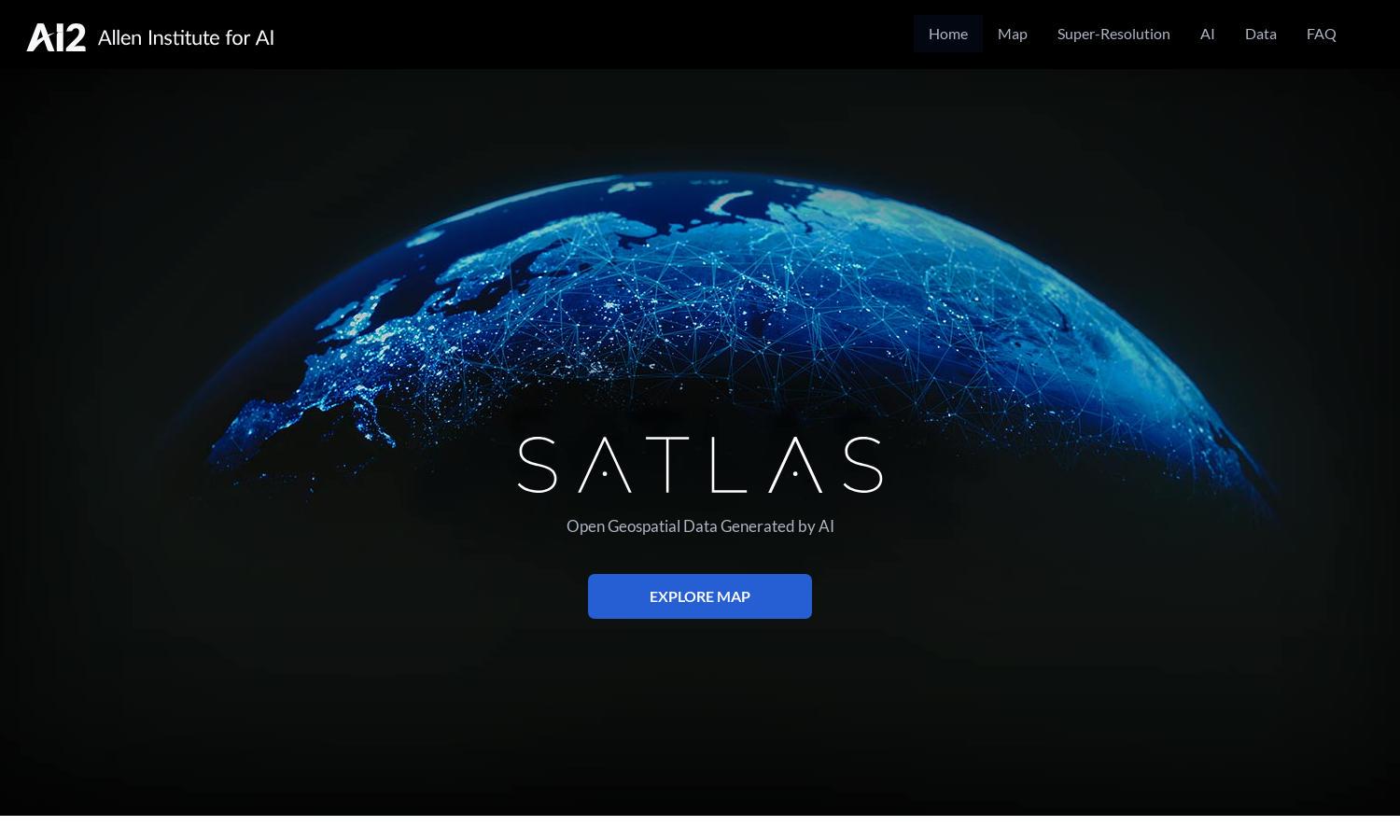
Satlas is a revolutionary platform that uses AI to analyze satellite imagery, allowing users to observe environmental changes globally. By providing high-resolution images and extensive geospatial data, Satlas caters to researchers, environmentalists, and policymakers looking to understand and address pressing global issues effectively.
Satlas offers free access to its geospatial data, encouraging offline analysis for all users. While basic access is complimentary, premium features are available to enhance user experience. Upgrading unlocks advanced tools, greater data sets, and additional functionalities, ensuring users gain comprehensive insights into environmental changes.
The user interface of Satlas is designed for a seamless experience, featuring intuitive navigation and organized layouts. Users can easily access the platform's tools for exploring AI-annotated satellite imagery. Satlas prioritizes user engagement with responsive design elements, enhancing interaction and overall satisfaction.
How Satlas works
Users start by signing up on Satlas, gaining immediate access to its vast geospatial datasets. Once onboarding is complete, users can easily navigate through images showing environmental changes, select specific areas of interest, and utilize super-resolution features to enhance low-resolution satellite imagery, making research accessible and straightforward.
Key Features for Satlas
AI-annotated satellite imagery
Satlas provides users with access to AI-annotated satellite imagery, an innovative feature that enables the monitoring of environmental changes. By leveraging cutting-edge computer vision algorithms, Satlas helps users visualize and understand shifts in marine and renewable infrastructure, supporting crucial environmental research.
Super-Resolution technology
Satlas employs super-resolution technology to enhance low-resolution satellite images into high-resolution snapshots. This feature enables users to obtain detailed visuals, improving the analysis of infrastructural developments and environmental changes, thus equipping researchers with clearer data to make informed decisions regarding the planet’s health.
Geospatial data accessibility
Satlas prioritizes accessibility by offering geospatial datasets that are freely available for download. This key feature allows researchers, policymakers, and the public to conduct offline analyses, promoting environmental awareness and collaborative efforts to observe and address changes in our planet’s landscapes.


